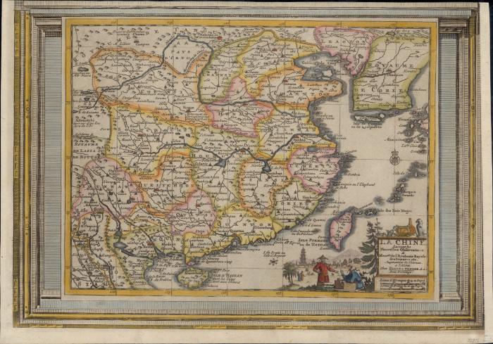
- Aa, Pieter van der, 1659-1733
- [publisher not identified]
- 1713?
- Scale not determined (E 120°--E 145°/N 40°--N 20°).
- Shows China and Korea
- Relief shown pictorially
- G7820 1713 .A3
- Early maps
- China
- Korea
- 1 map : hand colored ; 22 x 29 cm, on sheet 28 x 40 cm
- 10.14711/spcol/991012785668603412
- https://digitalcollections.hkust.edu.hk/Detail/objects/991012785668603412