- Cook, James, 1728-1779
- Harrison, William, approximately 1750-1803
- [Nicol & Cadell]
- 1784
- Scale not given.
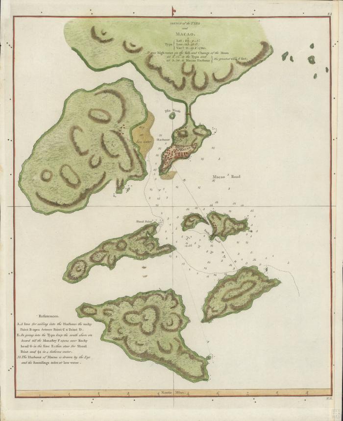
- "Typa, lat. 22°9 N, lon. 113°48 E, varn. 0.19 W. 1780 : it was high water on the full and change of the moon at 5 h. 15 m in the Typa and at 5.50 in Macao Harbour, the greatest rise 6 feet."
- Relief shown by hachures and depth by soundings
- Text providing navigational directions entitled: References
- In upper right corner: 81
- G7823.M2P5 1784 .C6
- Cook, James, 1728-1779
- Nautical charts
- China
- Taipa Island
- Macau (China : Special Administrative Region)
- Macau (Special Administrative Region)
- engraved by] W.H
- 1 map : hand colored ; 25 x 21 cm
- 10.14711/spcol/991012896369103412
- https://digitalcollections.hkust.edu.hk/Detail/objects/991012896369103412