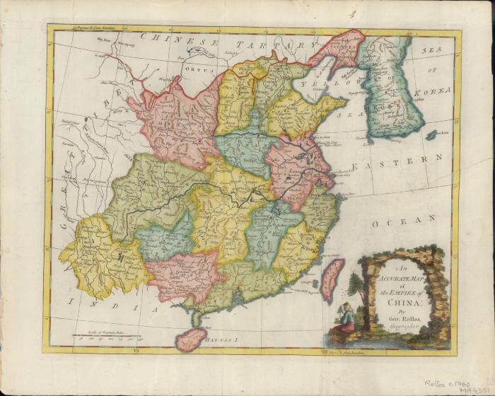
- Rollos, G., active 1754-1789
- [publisher not identified]
- 1760
- Scale approximately 1:10,241,280 (E 95°--E 130°/N 40°--N 20°).
- Relief shown pictorially
- Includes color illustrations
- G7820 1760 .R6
- Early maps
- China
- by Geo: Rollos
- 1 map : hand colored ; 27 x 33 cm, on sheet 32 x 40 cm
- 10.14711/spcol/991012896369203412
- https://digitalcollections.hkust.edu.hk/Detail/objects/991012896369203412