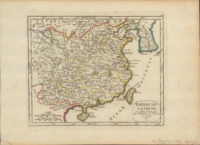
- Atlas portatif, universel et militaire
- Robert de Vaugondy, Gilles, 1688-1766
- Scale approximately 1:17,280,000 (E 116°--E 145°/N 40°--N 20°).
- Relief shown pictorially
- In upper right corner: 166
- Appears in Robert de Vaugondy's Atlas portatif, universel et militaire
- par le le Sr. Robert de Vaugondy fils de Mr. Robert Geogr. ord du Roi
- 1 map : hand colored ; 16 x 19 cm, on sheet 22 x 30 cm
- 10.14711/spcol/991012896369403412
- https://digitalcollections.hkust.edu.hk/Detail/objects/991012896369403412