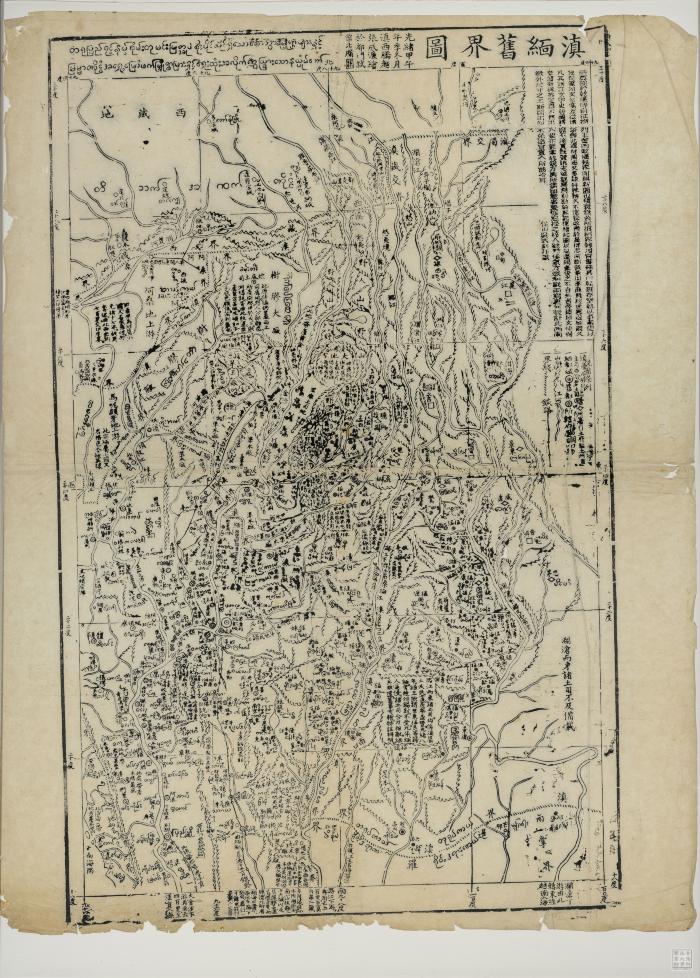
- Map of former national boundary between Yunnan and Burma
- Scale not given (E 94°--E 101°/N 30°--N 18°)
- Scale not given
- Relief shown pictorially.
- Electronic reproduction. Hong Kong : Hong Kong University of Science and Technology Library, [2022].
- Originally created as: 1 map ; 66 x 42 cm, on sheet 73 x 56 c. ; woodblock prints.
- Aspect ratio: 1:0.716.
- Chinese and Burmese.
- Description based on physical version.
- 1 online resource (1 map)
- 10.14711/spcol/991013146515903412
- https://digitalcollections.hkust.edu.hk/Detail/objects/991013146515903412