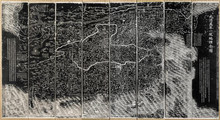
Also shows a distorted view of surrounding countries.
Covers the area from Korea to Pamirs, and from Heilongjiang river to the islands of the South China Sea.
In case.
Includes text.
Relief shown pictorially.
Revised edition of the map originally drawn by Huang Qianren in 1767.
Shows the mountains, rivers, coasts, territory and administrative divisions of the Qing Empire.
Electronic reproduction. Hong Kong : Hong Kong University of Science and Technology Library, [2022].
Originally created as: 1 map on 8 scrolls ; 132 x 31 cm, (dimension of whole map: 132 x 253 cm.) ; on sheets 208 x 40 cm or smaller ; woodblock prints ; hand color.