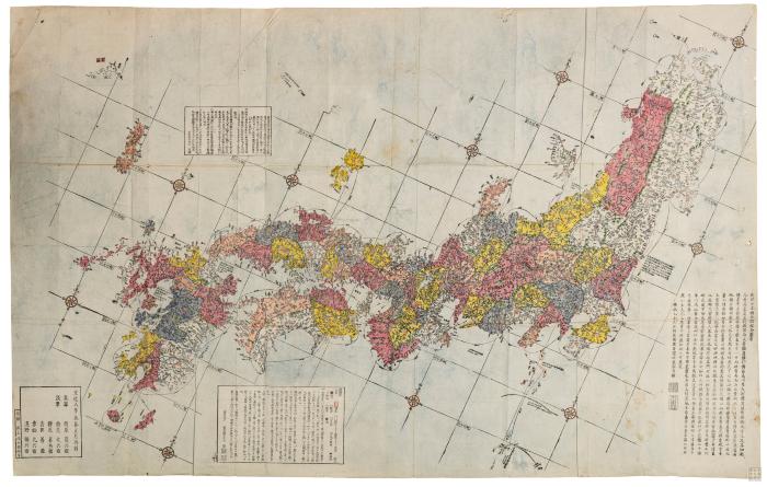
- Scale approximately 1:1,300,000.
- Engraved by Inoue Jihē.
- Includes legend, distance chart of sea routes, and explanation of Kuroshio and tides.
- Includes text.
- Oriented with north to the upper right.
- Preface by Shibano Ritsuzan.
- Relief shown pictorially.
- Shows longitude and latitude.
- Title from preface.
- Electronic reproduction. Hong Kong : Hong Kong University of Science and Technology Library, [2022].
- Originally created as: 1 map : hand colored ; 86 x 135 cm, folded to 29 x 25 cm ; woodblock prints.
- Aspect ratio: 1:1.572.
- In Japanese.
- Description based on physical version.
- 1 online resource (1 map : color)
- 10.14711/spcol/991013146518103412
- https://digitalcollections.hkust.edu.hk/Detail/objects/991013146518103412