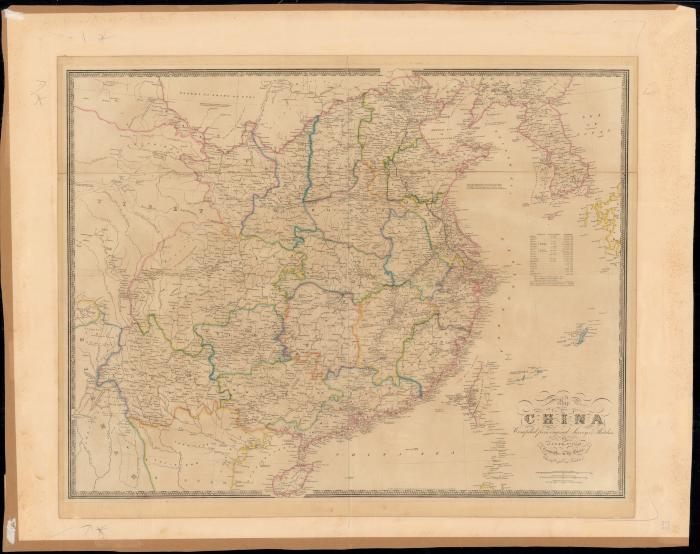
- Wyld, James, 1812-1887
- Jas. Wyld
- 1840
- Scale approximately 1:4,752,000
- Map of the central and eastern China showing railways, roads, provincial boundaries, water features, cities and towns; including a table charting population and area of the provinces.
- Electronic reproduction: Hong Kong University of Science and Technology Library, [2022].
- Originally created as: 1 map : color ; 62 x 80 cm, on sheet 66 x 83 cm, mounted on paper backing: 79 x 99 cm.
- Aspect ratio: 1:0.702.
- Description based on physical version.
- G7820 1840 .W9er
- China
- by James Wyld
- English
- 1 online resource (1 map : color)
- 10.14711/spcol/991013158526303412
- https://digitalcollections.hkust.edu.hk/Detail/objects/991013158526303412