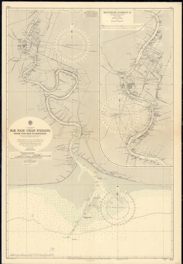
- Mæ Nam Chao Phraya, from the bar to Bangkok
- Mae Nam Chao Phraya, from the bar to Bangkok
- Edgell, John Augustine, 1880-1962
- Great Britain
- Admiralty
- 1957
- Scale 1:50,000.
- Scale 1:25,000.
- "From the Thai Government charts to 1956.".
- Depths shown by bathymetric tints, soundings, and isolines; soundings in fathoms.
- "Published at the Admiralty 14th Mar. 1934, under the superintendence of Captain J.A. Edgell, O.B.E., R.N., hydrographer.".
- "In upper left corner: 666; in lower right corner 999.".
- Includes tables and 1 inset map: Bangkok Harbour, from a Thai Government plan of 1931, with additions and corrections to 1949. Scale 1:25,000.
- Electronic reproduction: Hong Kong University of Science and Technology Library, [2022].
- Originally created as: 1 map : color ; 98 x 65 cm, on sheet 104 x 72 cm.
- Aspect ratio: 1:1.445.
- Description based on physical version.
- G8027.C53P5 1957 .G7er
- Nautical charts
- Thailand
- Chao Phraya River
- Bangkok
- Samut Prakan
- Chao Phraya River (Thailand)
- Bangkok (Thailand)
- Samut Prakan (Thailand : Province)
- English
- 1 online resource (1 map : color)
- 10.14711/spcol/991013158528103412
- https://digitalcollections.hkust.edu.hk/Detail/objects/991013158528103412