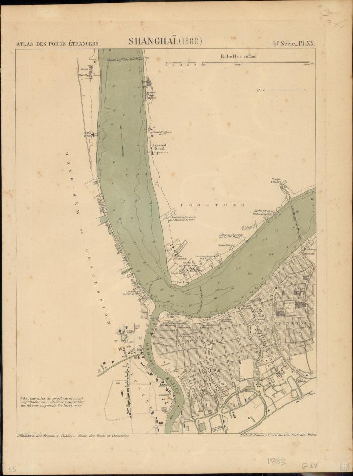
- Atlas des ports étrangers
- France
- École nationale des ponts et chaussées (France)
- Scale 1:20,000.
- Depths shown by contours and soundings.
- Atlas des ports étrangers, 4e Série_pl. XX ; École nationale des ponts et chaussées.
- Electronic reproduction: Hong Kong University of Science and Technology Library, [2022].
- Originally created as: 1 map : color ; 27 x 21 cm on sheet 33 x 25 cm.
- Aspect ratio: 1:1.347.
- Description based on physical version.
- Shanghai (China : International Settlement)
- China
- Shanghai
- Ministere des travaux publics
- 1 online resource (1 map : color)
- 10.14711/spcol/991013158529103412
- https://digitalcollections.hkust.edu.hk/Detail/objects/991013158529103412