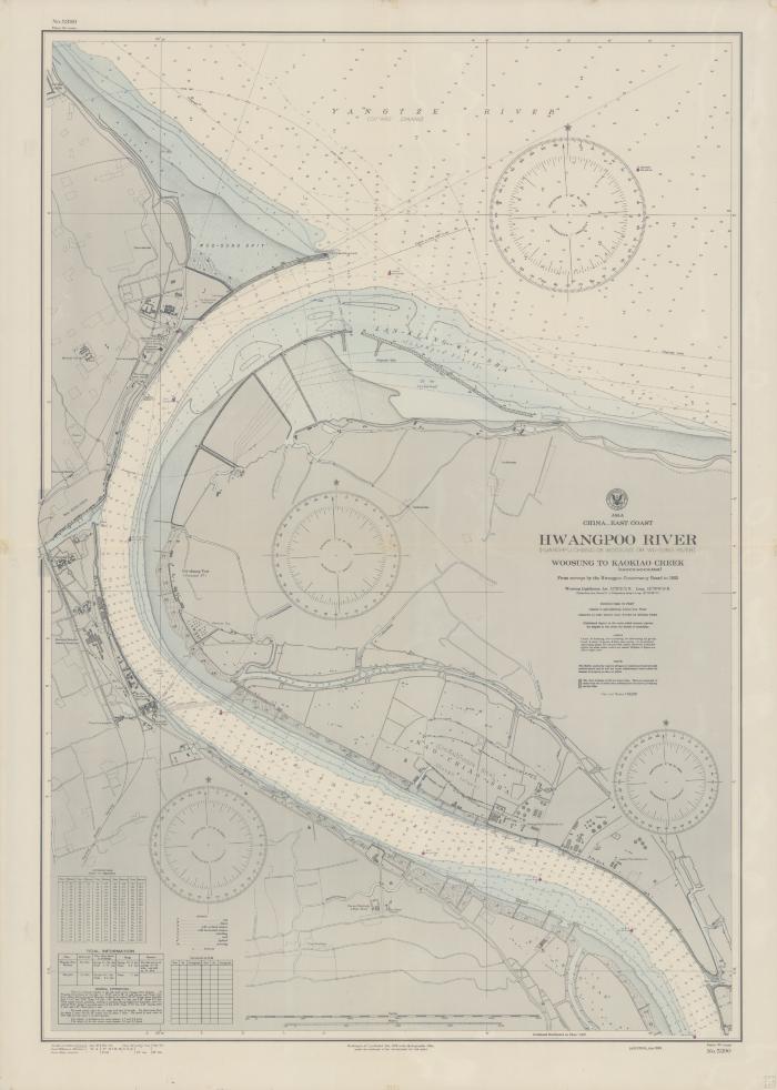
- Asia : China-East coast
- United States
- Hydrographic Office
- 1935
- Scale 1:10,000.
- From surveys by the Hwangpoo Conservancy Board to 1933.
- Chart no. 5390.
- Depths shown by soundings and isolines.
- Includes tidal information table, conversion table, corrections table and notes.
- Electronic reproduction: Hong Kong University of Science and Technology Library, [2022].
- Originally created as: 1 map : color ; 97 x 66 cm on sheet 107 x 77 cm.
- Aspect ratio: 1:1.402.
- Description based on physical version.
- G7822.H845P5 1935 .U5er
- Nautical charts
- China
- Huangpu River
- English
- 1 online resource (1 map : color)
- 10.14711/spcol/991013158529303412
- https://digitalcollections.hkust.edu.hk/Detail/objects/991013158529303412