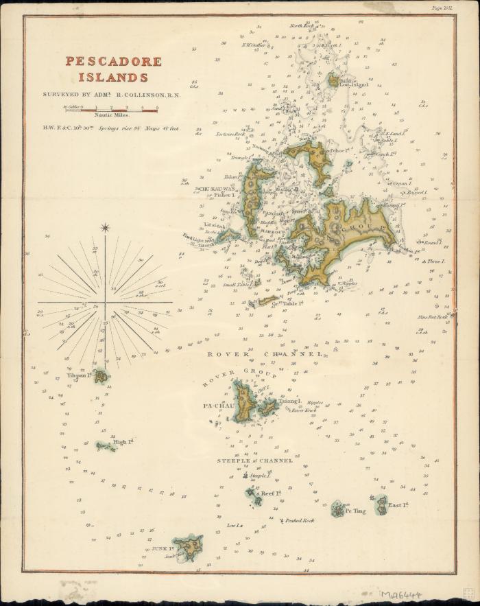
- Collinson, Richard, 1811-1883
- Scale approximately 1:200,000.
- In upper right corner: Page 1051.
- Relief shown by hachures. Depths shown by soundings.
- Electronic reproduction: Hong Kong University of Science and Technology Library, [2022].
- Originally created as: 1 map : hand colored ; 29 x 22 cm, on sheet 31 x 25 cm.
- Aspect ratio: 1:1.262.
- Description based on physical version.
- Penghu County (Taiwan)
- Taiwan
- Penghu County
- surveyed by Adml. R. Collinson, R.N
- 1 online resource (1 map : hand colored)
- 10.14711/spcol/991013158536003412
- https://digitalcollections.hkust.edu.hk/Detail/objects/991013158536003412