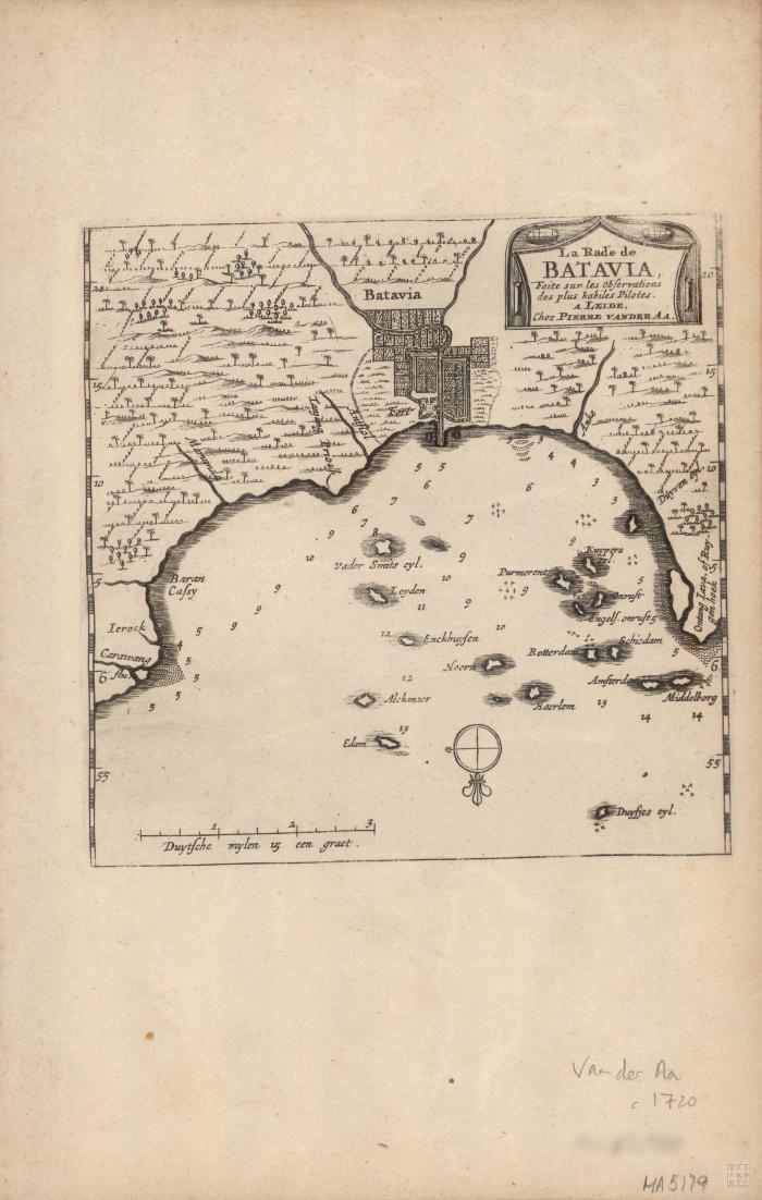
- Aa, Pieter van der, 1659-1733
- Scale not determined.
- Relief shown pictorially and by soundings.
- Electronic reproduction: Hong Kong University of Science and Technology Library, [2022].
- Originally created as: 1 map ; 16 x 16 cm, on sheet 31 x 20 cm.
- Aspect ratio: 1:1.574.
- Description based on physical version.
- Indonesia
- Jakarta
- Jakarta (Indonesia)
- faite sur les observations des plus habiles pilotes
- 1 online resource (1 map)
- 10.14711/spcol/991013158537803412
- https://digitalcollections.hkust.edu.hk/Detail/objects/991013158537803412