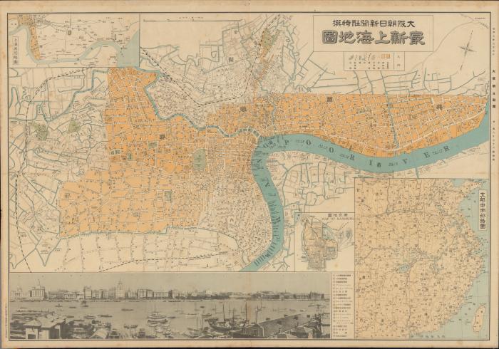
Map mainly shows the International Settlement and the French Concession in Shanghai, along the Whangpoo River. At bottom of map is a panoramic photograph of the Bund area, with legend.
Scale 1:12,000.
Electronic reproduction: Hong Kong University of Science and Technology Library, [2022].
Originally created as: 1 map : color ; 51 x 75 cm.
Aspect ratio: 1:0.700.
Description based on physical version.
Street and building names in Japanese and English.
Supplement to issue no. 18076 (Mar. 5, 1932) of 大阪朝日新聞.
Insets: 上海吳淞略圖 -- 支那中南部略圖 -- 南京地圖 = Map of Nangking.