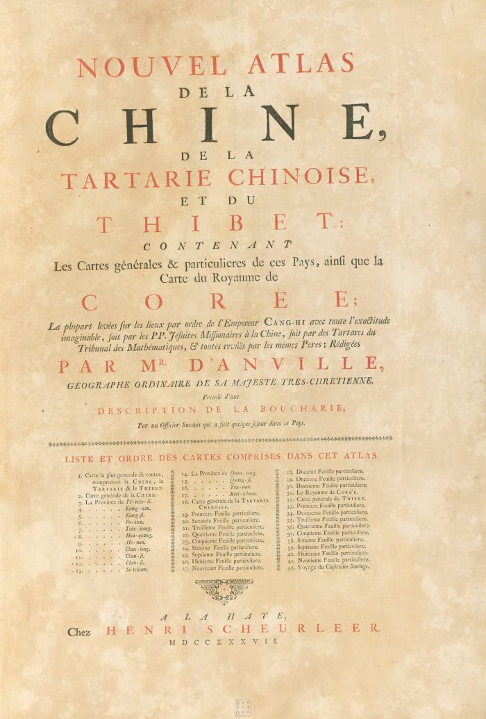
- Atlas de la Chine
- Anville, Jean Baptiste Bourguignon d', 1697-1782
- H. Scheurleer
- 1737
This atlas contains detailed surveys of the extremities of the Chinese Empire, including one of the first separate maps of Korea and the earliest printed Western maps of Tibet and Bhutan. D'Anville, a prominent cartographer in Paris, based his work on a copy of "康熙皇輿全覧圖 Complete map of the Empire of the Kangxi Era" (1719) engraved by Matteo Ripa, a Jesuit missionary in China. D'Anville's atlas was prepared to accompany J. B. Du Halde's "Description geographique, historique, chronologique, politique, et physique de l'empire de la Chine".
- Hand colored
- DS708 .D85 1737
- China
- Xizang
- Korea
- Mongolia
- 中國
- 西藏
- 蒙古
- rédigées par Mr. d'Anville ... Précedé d'une description de la Boucharie par, un officier suedois qui a fait quelque sejour dans ce pays
- French
- 12 p. : 42 maps (part fold., some col.) ; 54 cm
- 10.14711/spcol/b640023
- https://digitalcollections.hkust.edu.hk/Detail/objects/b640023